
Bianca Greeff, Graduate Assistant
The Marcellus shale in northeastern Pennsylvania is estimated to hold up to 500 trillion cubic feet of natural gas, possibly making it the second largest natural gas field in the world. The deep sedimentary rock of the Marcellus requires hydraulic fracturing to access the natural gas trapped between rock layers.

By John G. Van Hoesen [CC BY-SA 4.0], via Wikimedia Commons
Hydraulic fracturing (fracking) is when a chemical mixture is pumped into the subsurface at high pressures to fracture the rock and release gas used for energy production. Fracturing operations may have the potential to contaminate surface and drinking water, but finding the source of the polluting contaminants is a controversial undertaking. Scientists have relied on isotopes to assess contaminant sources.
Jennifer C. McIntosh, a University Distinguished Scholar and Associate Professor in the Department of Hydrology & Atmospheric Sciences at the University of Arizona, will critically evaluate how tracing isotopes can help identify contaminants from hydraulic fracturing at the GCSC Seminar Series on Tuesday, April 18 from 4-5 p.m. in 210 ASB.
Almost every element comes in multiple forms. Each element contains a characteristic number of protons—as that is what allows the atom to be identified. The number of neutrons for that element can vary. Atoms with the same number of protons and electrons but different numbers of neutrons are isotopes.
Isotopes have been used to track sources of contamination (like brine, fracking fluids, methane, or natural gas) to see if the contaminant is natural or human created. McIntosh describes isotopes as a fingerprint. Tracing these fingerprints is an effective way to identify where a contaminant is coming from.
“Depending on what geology an element or water interacts with,” McIntosh said, “the element is going to pick up a particular signature. This is a forensics type of work, you are essentially an investigator.”

By Joshua Doubek (Own work) [CC BY-SA 3.0], via Wikimedia Commons
McIntosh will point to contamination case studies from the Marcellus Shale gas production, and the Bakken Shale oil production in North Dakota. She will also talk about her own work collecting baseline studies on methane and shallow aquifers in Ontario, Canada. In case there are future environmental impacts—like leakage of natural gas or fracturing fluids—from future hydraulic fracturing in the area, McIntosh’s data will serve as a baseline of what Ontario was like before contamination
“Ontario has a shale that is equivalent to the Marcellus Shale, but there has been no shale gas production” explained McIntosh.
Using her expertise in natural tracers, McIntosh developed a road map agencies can use to determine if there is any contamination from oil and gas production. In it, McIntosh illuminates what an agency would want to do beforehand to have the best baseline data in place, the data they would want to collect during a fracking operation, and what data to collect afterward if contamination is suspected.
Learn more at McIntosh’s lecture, “Tracing Environmental Impacts of Hydraulic Fracturing and Oil/Gas Production” on Tuesday, April 18 at 4 pm in 210 ASB.
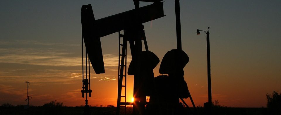
Cover Photo: By lalabell68 [CC0 Public Domain], via Pixabay